CBA Jamaica: Increasing Community Adaptation and Ecosystem Resilience to Climate Change in Portland Bight (CCAM)
Project Overview
Jamaica’s Portland Bight Protected Area includes some of the best remaining examples of coastal dry forest, the longest contiguous mangrove coastline in Jamaica, and some of the most important fish nurseries in the country. The project site has outstanding national and global importance because of its highly threatened biodiversity and ecological services. Due to climate variability, however, the Portland Bight communities of Old Harbour Bay, Hellshire, and Salt River are high risk areas for hurricanes, floods, fire and tsunamis, with more than 20,000 people living in the danger zones. Climate change also causes the loss and degradation of ecosystems, the loss of habitat for biodiversity, and the loss of ecosystem services such as coastal protection, fish nurseries, recharging of aquifers, control of soil erosion, and natural regeneration of forests. These factors threaten the lives and livelihoods of the local communities, who are very dependent on the surrounding environment.
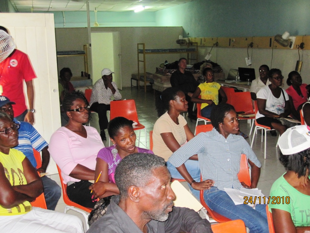
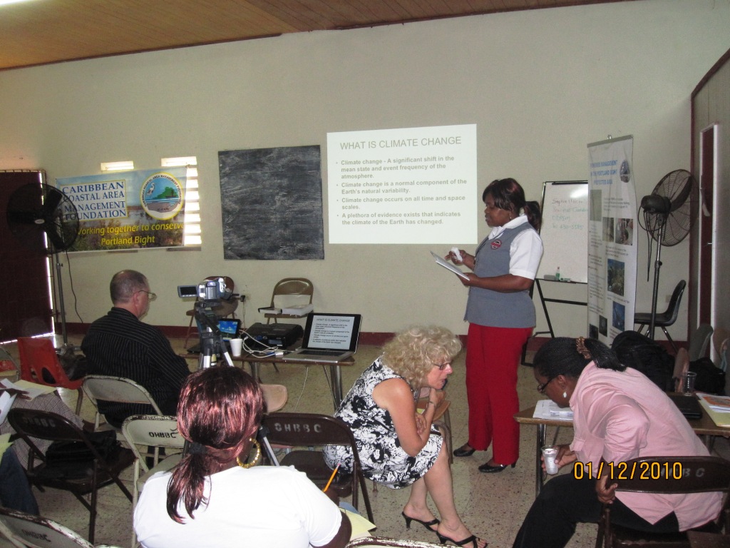
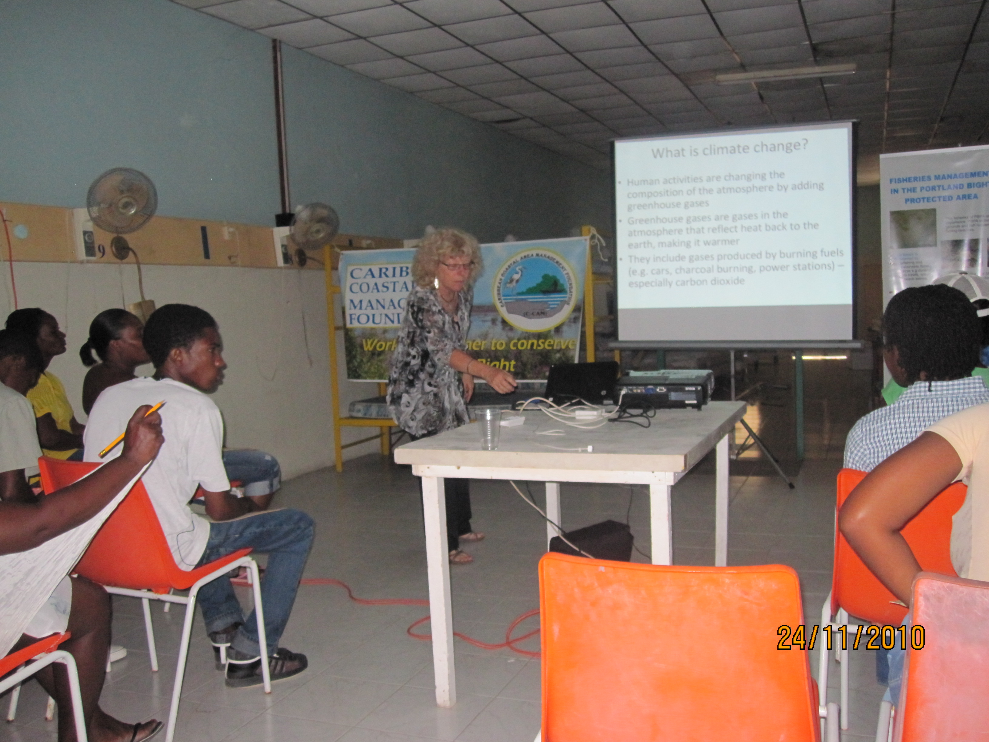
This Community-Based Adaptation project reduces the threats to globally endangered biodiversity, ecosystems, and ecosystem services by empowering communities to manage ecosystems more sustainably in the face of climate change. Through workshops, communities' awareness of their importance and contribution to the economy will be increased, and the implementation of sustainable ecosystem use and adaptive alternatives will be taught.
* This project is part of Jamaica's Community-Based Adaptation portfolio. *
Project Details
Portland Bight Protected Area (PBPA) includes coastline from Hellshire to Milk River on the South Coast of Jamaica. The coast is fringed with the longest contiguous stretch of mangroves in the country, seagrass beds, coral reefs and cays. These form the country’s largest nursery for fish, crustaceans and mollusks (including conch, Strombus gigas). The beaches provide nationally significant nesting habitat for globally threatened sea turtles (principally Hawksbill Eretmochelys imbricata) while the many rivers that drain the hinterland provide habitat for the globally threatened American Crocodile (Crocodylus acutus) as well as endemic fish. The wetlands include habitats for the globally threatened West Indian Whistling Duck (Dendrocygna arborea).
Overlooking the coast are three tropical dry forests – Hellshire Hills, Braziletto Mountains and Portland Ridge – which also house a variety of globally-significant species and ecosystems. These areas are surrounded by agriculture (mainly sugar cane) with pockets of settlement and industry, including 3 ports. All these habitats are already showing apparent signs of stress from climate change, including increased hurricane damage, increased drought and flood cycles and increased risk of fire. The neighboring marine ecosystems are likewise showing signs of stress. For example, coral reefs have low levels of living coral combined with high algae overgrowth and regular bleaching events.
The Protected Area includes three towns (Old Harbour Bay, Lionel Town and Hayes) and about forty-nine residential communities—nineteen of which are directly on the coast. This project focuses on the area’s most vulnerable settlements, which are close to the Portland Cottage, Salt River, Cockpit and Old Harbour Bay. These populations encompass a total of about 20,000 people whose main livelihoods depend directly or indirectly on fishing, sugar or bauxite. These areas form the hinterland for three fish sanctuaries. The communities are all low lying, mostly carved out of mangrove swamps and wetlands and their immediate environs. All have recent history of being affected by floods and hurricanes, and therefore have a high level of receptivity to vulnerability reduction measures in these areas.
The people of the area are particularly dependent on the maintenance of natural ecosystems because of the natural services they provide. This is true for all coastal communities but in Portland Bight the linkages are particularly close. The forests of the limestone hills in the immediate vicinity sustain the aquifers that support many springs and wells, while further inland forest hills reduce the frequency of flash flooding and reduce erosion. The area’s mangroves protect the coastline and the infrastructure behind it while providing nursery habitat for fishable resources.
Climate change is likely to increase temperatures, reduce summer rainfall, and increase the frequency of hurricanes, fires and floods. This will result in loss and degradation of ecosystems including tropical dry forests, wetlands (especially mangroves), coral reefs and seagrass beds. This will result in loss of habitat for biodiversity including the critically endangered species that occur in the area. There will also be loss of ecosystem services such as coastal protection, fish nurseries, recharging of aquifers, control of soil erosion, natural regeneration of forests.
This Community-Based Adaptation project will reduce the threats to globally endangered biodiversity, ecosystems and ecosystem services by seeking to empower communities to manage ecosystems more sustainably in the face of climate change. This will include increasing awareness of ecosystem importance and contribution to the economy, as well as promoting sustainable and alternative uses. The project will include awareness-raising on the impacts climate change presents for globally endangered biodiversity, ecosystems and ecosystem services (and hence livelihoods). It will advocate for integrating ecosystem services into development frameworks at the local and national levels.
Key Results and Outputs
Outcome 1: All major stakeholder groups informed about climate change threat and adaptation options
Design and implement a stakeholder awareness programme (Output 1.1), including a technical workshop for administrators, planners, government officials, politicians, land managers, and developers (Output 1.2). Hold a community workshop (Output 1.3) and develop a manual (Output 1.4) intended to bolster community involvement in reviewing Environmental Impact Assessments. Hold two vulnerability reduction assessments (Output 1.5). Produce a teacher’s guide, a student booklet, and teacher training workshop (Output 1.6), then design and site a wetland interpretation centre (Output 1.7). Ensure that adaptation to climate change is included in management planning for fish sanctuaries (Output 1.8), hold a climate change adapotation expo (Output 1.9) and establish C-CAM as first responder to disasters (Output 1.10).
Outcome 2: Five stakeholder groups involved in monitoring impacts of climate change
Purchase monitoring equipment (Output 2.1) and establish notice boards on three fishing beaches (Output 2.2). Hire and train nine community monitors (Output 2.3) to establish and operationalize a beach monitoring programme (Output 2.4). Map fish sanctuary benthos (Output 2.5) and implement photographic monitoring of terrestrial areas (Output 2.6) to complement a community reporting system (Output 2.7).
Outcome 3: Establish at least two demonstration activities involving stakeholders in minimizing climate change impacts
Pilot a rainwater harvesting demonstration (Output 3.1), hold a sustainable livelihoods entrepreneurship workshop (Output 3.2), and submit at least two follow-up proposals implementing community suggestions for adaptation projects (Output 3.3).
Reports and Publications
News article
CBA Jamaica - Poster Competition - Press Release (Feb. 2012)
PIFs
Project Brief / Fact Sheet
Monitoring and Evaluation
Monitoring and evaluation for community-based adaptation is a new field, and the CBA project is piloting innovative approaches to evaluating the success of locally-driven adaptation projects, and generating lessons to inform ongoing practice.
Key considerations in M&E for CBA include:
- Grounding M&E in the local context: M&E for CBA should avoid overly rigid frameworks, recognizing community heterogeneity and maintaining local relevance
- Capturing global lessons from local projects: CBA projects are highly contextualized, but lessons generated should be relevant to stakeholders globally
- Incorporation of both quantitative and qualitative indicators: to ground projects in tangible changes that can be objectively evaluated, and to capture lessons and case studies for global dissemination
To these ends, the CBA project uses three indicator systems: the Vulnerability Reduction Assessment, the Small Grants Programme Impact Assessment System, and the UNDP Climate Change Adaptation Indicator Framework.
The Vulnerability Reduction Assessment (VRA)
The VRA is a question-based approach with the following aims:
- To make M&E responsive to community priorities
- To use M&E to make projects more accountable to local priorities
- To make M&E capture community ideas and local knowledge
- To gather community-level feedback to guide ongoing project management
- To generate qualitative information
- To capture lessons on specific issues within community-based adaptation
- To generate case studies highlighting adaptation projects
The VRA follows UNDP's Adaptation Policy Framework, and is measured in a series of meetings with local community stakeholders. In these meetings, locally-tailored questions based on standard VRA questions/indicators are posed, and the community assigns a numerical score on a 1-10 scale for each question. Progress is evaluated through changes in scores over the course of implementation, as well as through qualitative data collected in community discussions surrounding the exercise.
UNDP has developed a Users Guide to the VRA (Espanol) (Francais) as a tool to assist practitioners to conceptualize and execute VRA measurements in the context of CBA projects.
The SGP Impact Assessment System (IAS)
The CBA, being a project of the GEF Strategic Priority on Adaptation, aims to increase the resilience of ecosystems and communities to the impacts of climate change, generating global environmental benefits, and increasing their resilience in the face of climate change impacts. To this end, the CBA projects use the SGP's impact assessment system for monitoring achievements in GEF focal areas (focusing primarily on biodiversity and sustainable land management).
The IAS is composed of a number of quantitative indicators which track biophysical ecosystem indicators, as well as policy impact, capacity development and awareness-building.
UNDP Climate Change Adaptation Indicator Framework
CBA projects also track quantitative indicators from UNDP's adaptation indicator framework, corresponding to the thematic area on natural resources management. More information on UNDP's indicator framework can be found on the UNDP climate change adaptation monitoring and evaluation website.
* This description applies to all projects implemented through UNDP's Community-Based Adaptation programme. Specific details on this project's M&E will be included here as they become available. *


