Municipality
Taxonomy Term List
Readiness for the National Adaptation Plan Process in Argentina
The project supported the Government of Argentina in establishing its adaptation planning process. This involved identifying gaps, capacity building, and integrating climate change considerations across national, regional, and local levels. By doing so, the project facilitated the assessment and reduction of vulnerability to the adverse effects of climate change by integrating climate change adaptation into the country's development strategies.
The scope of the project included the preparation of the National Adaptation Plan (NAP) with a regional and multi-sectoral approach. Additionally, it involved the development of a system to monitor and assess adaptation needs and measures under the Law 27250 Minimum Standards for Adaptation and Mitigation to Climate Change (Ley de Presupuestos Mínimos de Adaptación y Mitigación al Cambio Climático). To achieve the proposed outcomes, the project developed a communication strategy on climate change adaptation, carried out a series of studies to identify adaptation options, and supported inter-sectoral and inter-jurisdictional collaboration within the framework of the National Cabinet on Climate Change (NCCC), the Federal Environment Council (COFEMA), and the National System for Comprehensive Risk Management (SINAGIR).

In recent years, Argentina has made decisive progress in planning and implementing measures to adapt to climate change. The National Communications on Climate Change have made valuable contributions, such as providing information, conducting diagnoses, and identifying various information gaps. Within the framework of the National Climate Change Cabinet (NCCC) work, several sectoral initiatives that are directly or indirectly related to climate change adaptation were identified, as well as other information and capacity needs.
This project, funded by the Green Climate Fund (GCF) NAP Readiness Programme, aimed to deepen this work by supporting National Adaptation Plan (NAP) development. This involved facilitating the evaluation and reduction of vulnerability to the adverse effects of climate change by integrating climate change adaptation into Argentina’s development strategies.
The “Readiness for the National Adaptation Plan Process” project was launched in March 2019 to support Argentina’s efforts to assess and reduce climate change vulnerability by integrating climate change adaptation into the country's sustainable development. To achieve this goal, the project aimed to build adaptive capacity and resilience. It sought to integrate climate change adaptation into both new and existing policies, programmes, activities, and development planning processes and strategies across relevant sectors at different levels.
In particular, the project supported the Government of Argentina to:
1) Establish a national process to coordinate adaptation planning at all relevant scales with a medium and long-term perspective.
2) Identify capacity gaps and strengthen capacities for adaptation planning and implementation, integrating adaptation to climate change into national, provincial, and municipal development planning processes.
3) Support the preparation of the NAP with a regional and multi-sectoral approach in the framework of the National Climate Change Cabinet.
4) Establish a system for monitoring and assessing needs and adaptation measures.
5) Design a communication strategy on adaptation to climate change, focusing on the most vulnerable populations and improving climate information services; and
6) Support inter-sectoral and inter-jurisdictional collaboration within the framework of the National Cabinet on Climate Change.
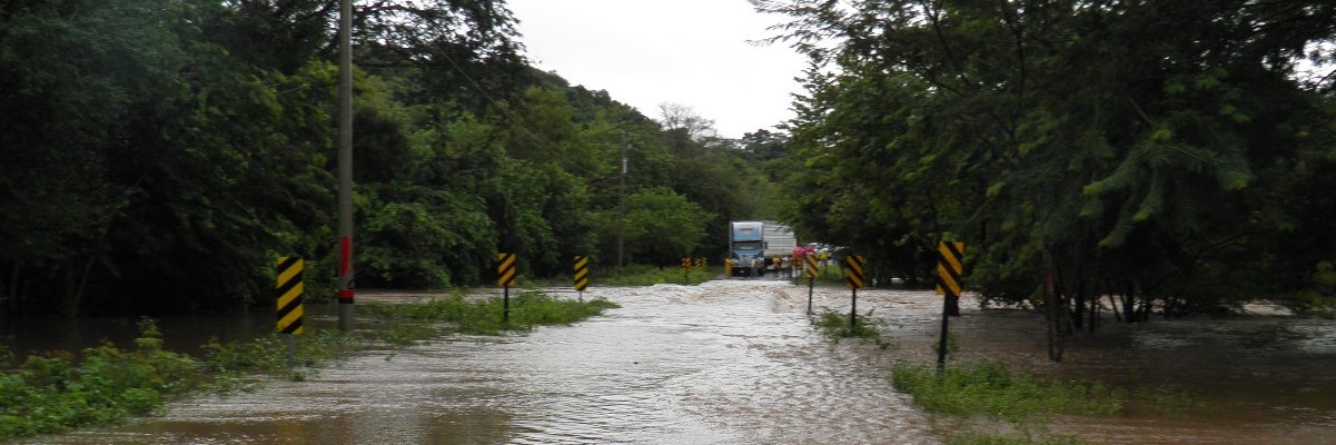
In most of non-Patagonian Argentina, the average temperature has increased up to half a degree between 1960 and 2010, with smaller increases in the center of the country. These changes have already affected natural and human systems, and according to climate projections, impacts will intensify. More frequent and intense rainfall has resulted in more frequent floods, while dry winter periods have become longer in the west and north of the country. This has adversely affected water availability for some populations, increased the risks of grassland fires, and caused livestock stress.
Argentina has committed to addressing climate change adaptation systematically and inclusively through actions and initiatives articulated in its National Adaptation Plan, its 2016 National Determined Contribution (NDC), and it’s second NDC in 2020. The NDCs and further work implemented within the framework of the National Cabinet on Climate Change detected various information gaps and sectoral initiatives that are directly or indirectly linked to climate change adaptation. The project focused on addressing these identified gaps, including establishing a baseline for the country's adaptation situation and initiating a participatory planning process.
The project goals were achieved through three main outcomes and their corresponding activities.
Outcome 1: Institutional strengthening and coordination for the formulation and implementation of the NAP process
Activities under this outcome focused on initiating the NAP process at the national level under the framework of Law 27250 and focused on strengthening governance and institutional coordination for adaptation planning. This involved developing an appropriate strategy and relevant institutional arrangements and support, such as the formalization of the External Advisory Council through consultation with representatives of civil society organizations, political parties, academia, and Indigenous people, and setting clear groundwork. The strategy outlined clear responsibilities for government ministries and departments, specified milestones and expected outputs of the NAP process, and improved coordination and cooperation mechanisms. The approach included participatory and inclusive approaches with Indigenous communities and others to identify climate risks, impacts, and subsequent mitigation strategies. This extended to the participatory formulation of the National Adaptation Plan and support for provinces in developing Subnational Response Plans. Regulatory support further strengthened the National Climate Change Cabinet, which approved the National Plan for Climate Change Adaptation and Mitigation.
Outcome 2: Awareness raising and capacity building
This outcome built capacities to reduce vulnerability to climate change and facilitate the integration of adaptation into development. A comprehensive education, awareness, and communication strategy in climate change adaptation was created encompassing various components, such as education, awareness, access to public information, citizen participation, culture, and international cooperation. A national-level social perception study facilitated the elaboration of this strategy and evaluated audience needs and preferences. Moreover, the Climate Risk Maps Platform (SIMARCC) was updated, functioning as an interactive tool that identifies climate change risks by illustrating communities and ecosystems with the highest socio-environmental vulnerability.
Training was conducted to promote the evaluation, planning, and implementation of adaptation measures. Workshops and training sessions strengthened subnational climate teams, equipping officials at that level with the necessary tools for the development of adaptation plans. Furthermore, private sector engagement was catalyzed through the launch of the Climate Action Agreement with the Private Sector. This aimed to facilitate collaboration between public and private sectors to achieve Argentina’s climate commitments through a platform for exchange and continuous training.
Outcome 3: Baseline definition; formulation of NAPs; implementation, monitoring and reviewing
Outcome 3 involved broad climate risk analyses identifying ‘adaptation deficits.’ This included vulnerability assessments at specific planning levels within the national context that can inform impactful adaptation solutions.Various studies were conducted on topics such as transport supply chains, regional economies, social vulnerability, economic impacts of climate change, health, and cultural heritage to facilitate risk analysis and identify adaptation options. The project also supported the elaboration of provincial adaptation plans by hiring individual consultants to strengthen the provincial climate teams. Risks and needs at the regional level were identified following economic loss estimates and sector-specific damage assessments.
In collaboration with provincial teams and civil society, a multi-criteria analysis tool was developed to prioritize adaptation measures within the NAP. Measures were prioritized based on their contribution to short- and long-term sustainable socioeconomic development, costs, effectiveness, and efficiency at national and subnational levels. Additionally, efforts were made to identify existing adaptation initiatives within national government areas. Moreover, a strategy for implementing and monitoring the NAP, involving priority measures, was developed. This included the design of the NAP monitoring, evaluation, and learning (MEL) system.
Outcome 1: Institutional strengthening and coordination for the formulation and implementation of the NAP process.
Outcome 2: Awareness raising and capacity building.
Outcome 3: Baseline definition, formulation of NAPs, implementation, monitoring and reviewing.
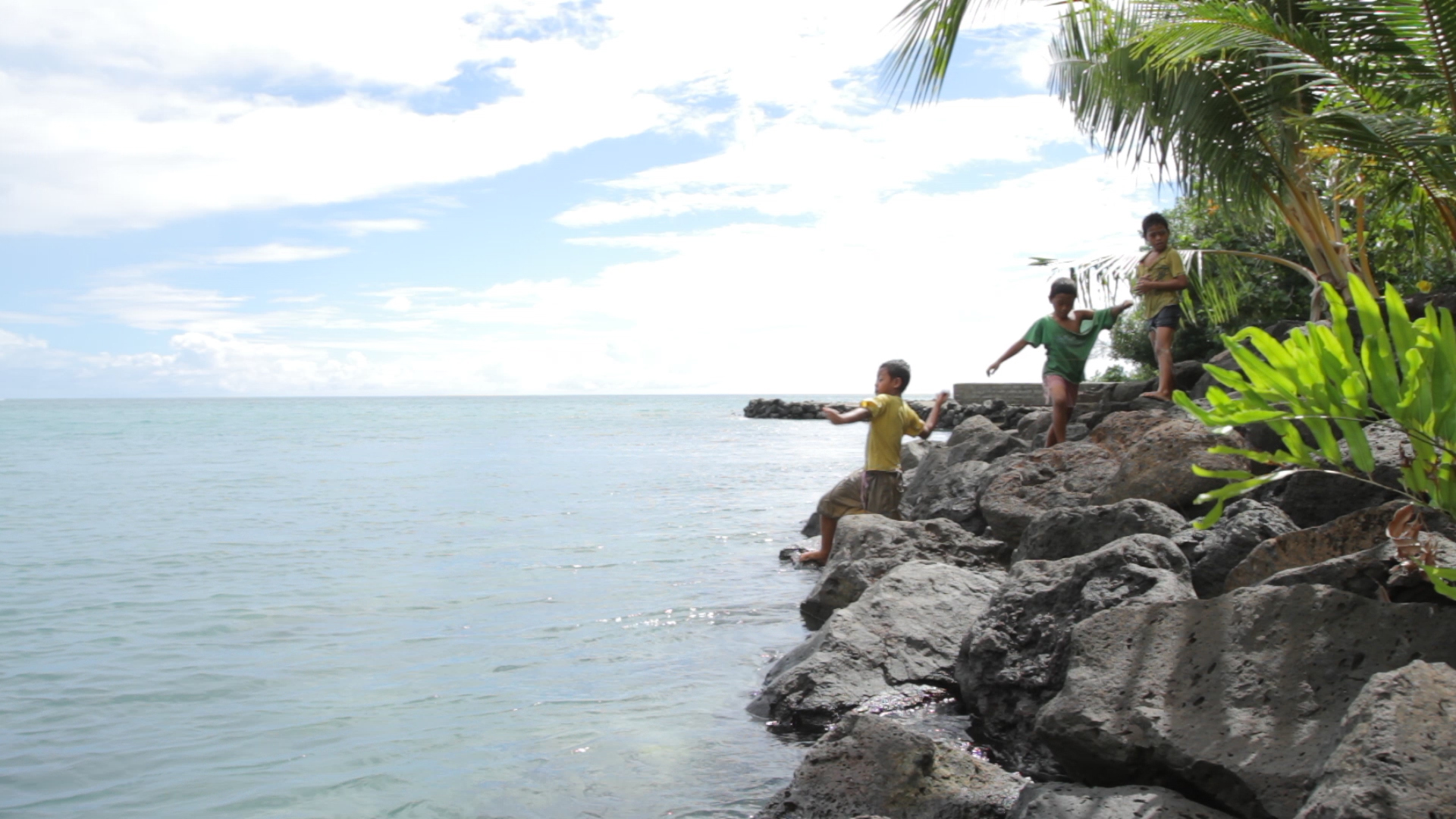
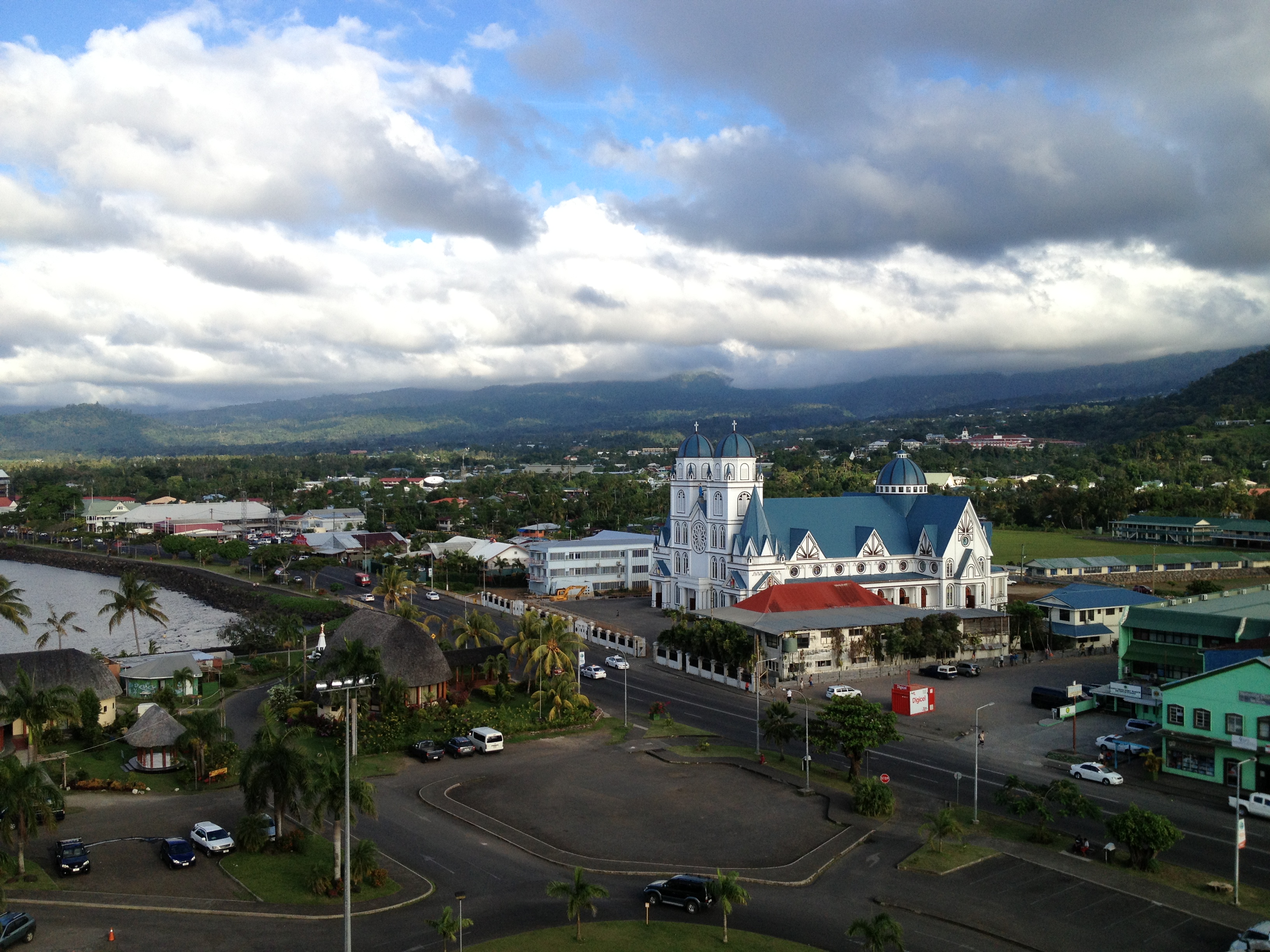
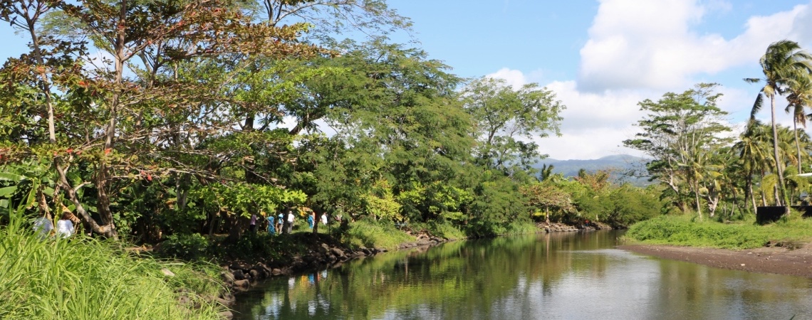
Integrated Flood Management to Enhance Climate Resilience of the Vaisigano River Catchment in Samoa
Newsletter
Vaisigano Catchment Project (GCF-VCP) Newsletter | Issue 29, August - September 2022
ProDocs

GCF resources will be used to implement a combination of integrated watershed and flood management works including both hard and soft measures. This includes upgrading river works to cater to increased water flows during flood events (taking into account the likelihood of the increased frequency of extreme events), ensuring that infrastructure works, and home dwellings, government and private-sector buildings are made more secure and provide adequate shelter in case of floods and their aftermaths. Additionally, the project will ensure that when floodwaters occur, the excess waters are channeled away through an effective, efficient, and fit-for-purpose drainage system. The project will consequently play a critical role in assisting the urban population and economy to effectively manage the inevitable increased intensity and frequency of flooding.
Direct benefits from these interventions include reduced risk of damage to public and private infrastructure/assets; reduced possibility of loss of life; and enhanced land value in flood-prone areas. Indirect benefits include reduced losses in income/sales; reduced costs of clean-ups, maintenance and repairs; reduced costs of relief and response efforts; and reduced possibility of health hazards. In addition to these 26,000 direct beneficiaries, the general population of Samoa will benefit from the safeguarding of critical economic assets and learning that will be generated.
In addition, mid and upstream ecosystem and community-based adaptation measures will enhance capture, infiltration, storage and delayed release of rainwater in soils and biomass, and water retention ponds will serve both climate-smart agribusiness development and combat degradation of vulnerable ecosystems through appropriate agro-forestry land-use practices.
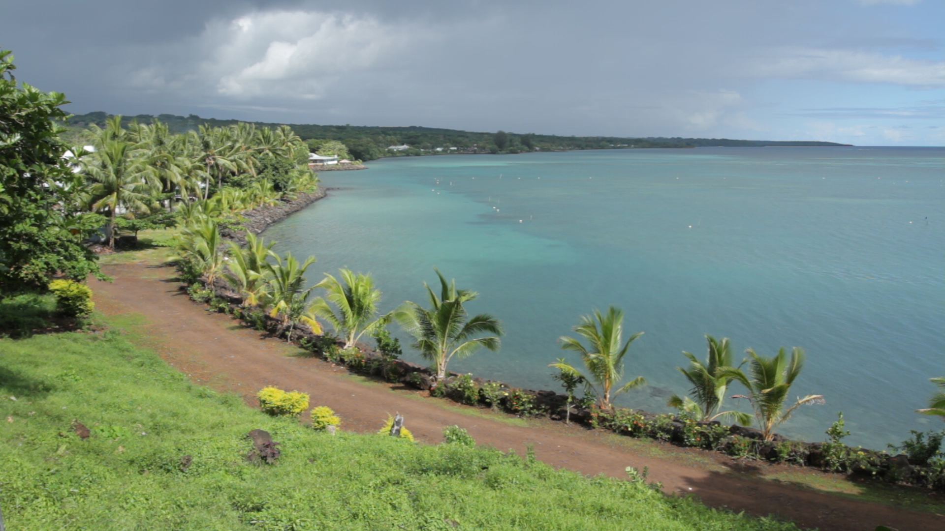
Addressing Climate Change in Samoa
Recent extreme events have resulted in approximately US$200 million worth of damages during each event. Climate projections for Samoa suggest that the risk of climate induced events will increase, potentially undermining development progress in urban Apia where the majority of the population and economic activity is located.
Given the topography of the country, extreme events result in significant river discharge that results in flooding of lowland areas. Recent tropical events such as Cyclone Evan have caused significant damage to both public and private assets as a result of flooding, resulting in serious health impacts. Urban infrastructure has suffered considerably from the recurrence of flooding and is unable to cope as climate change-related events are expected to become more frequent and intense.
Projected climate change scenarios cited by the Australian Commonwealth Scientific and Industrial Research Organization (CSIRO) suggest that Samoa is expected to have more frequent and extreme rainfall events; more frequent and longer drought events; increased air and water temperatures; sea level rise; and more frequent extreme wind events.
The project represents the Government of Samoa’s initial steps in operationalizing a comprehensive flood management solution for the likely consequences of extreme events in Apia, the capital with about 80,000 people. In this project, three interlinked project outputs will be pursued:
- Capacities and information base strengthened for the Government of Samoa to pursue an integrated approach to reduce vulnerability towards flood-related risks;
- Key infrastructure in the Vaisigano River Catchment are flood-proofed to increase resilience to negative effects of excessive water; and
- Upgraded drainage in downstream areas to increase capacity and allow for more rapid outflow of flood waters.
'Launching of the Flood Alert Sirens (a first of its kind in Samoa) within the vicinity of the Vaisigano River Catchment Area', Government of Samoa, November 29 2022
'CSSP Market Day for Beneficiaries of the Green Climate Fund-Vaisigano Catchment Project (GCF-VCP) Ecosystem based Enterprise Development Programme (EbAEDP)', Government of Samoa, September 8 2022
'Celebrating the women at the helm of Samoa’s biggest ever climate change and disaster resilient project on International Women’s Day', March 8, 2019.
Monthly Project Newsletter, Issue 1, July 2019.
'Rebuilding the Lelata Bridge to be tougher and higher', Samoa Observer, January 23, 2019.
'GCF Vaisigano River Catchment Site Visit with Assistant Secretary General of the United Nations and Director of UNDP's Regional Bureau for Asia and Pacific, Haoliang Xu', UNDP Samoa Facebook, June 2018.
'Samoa kicks off climate adaptation project to benefit 1 in 3 citizens facing flood risk' UNDP, October 25, 2017. In the lead up to COP climate talks in Bonn, the launch of a Green Climate Fund-financed US$65 million project signals strong global support for climate-resilient development in Small Island Developing States.
'Every dollar counts in fight against climate change - New GCF Funding for Samoa' - Samoa Observer, December 16, 2016. Op-ed celebrating Somoa's recently approved US$58 million Green Climate Fund project.
YouTube
Learn more about the climate challenges facing Samoa, and how UNDP is working to address those challenges and reduce risks.
Samoa GCF-funded project to help address #climate-induced flooding
Output 1. Strengthening capacities and mechanisms for integrated approach to reduce flood-related risks in place.
Output 2. Key infrastructure in the Vaisigano River Catchment are flood-proofed to increase resilience to negative effects of excessive water.
Generating Global Environmental Benefits from Improved Local Planning and Decision-making Systems in Burkina Faso
The project aims to address the inherent complexity and challenges that development institutions face when addressing global environmental issues. It aims to catalyze the mainstreaming of multi-lateral environmental agreements into development paths and processes in Burkina Faso by addressing key capacity gaps. This is to be achieved by strengthening information management systems and by providing capacity development support to local planning and development processes.
PIFs

The project outcomes are as follows –
- Functioning, sustainable system for collecting, analyzing, storing and making available accurate and reliable data related to all three Rio Conventions – this will be achieved through the design of the data/information management system (Outcome 1.1); Improved protocols and standards for data collection (Outcome 1.2); The Environmental Observatory technically and materially strengthened to provide a coordinated and sustainable information collection and storage mechanism (Outcome 1.3) and; Collection of a set of cross-cutting global environment knowledge materials covering all three Conventions (Outcome 1.4)
- Enhanced institutional capacities to plan and implement development processes that contribute to implementing the Rio Convention – through development of a manual with guidelines on mainstreaming biodiversity, climate change, desertification, disaster management and wetlands management into key development planning and processes (Outcome 2.1); Training a large cadre of experts on the use of such a manual (Outcome 2.2); Practical application of the manual and guidelines to modify development programmes (Outcome 2.3); Global environmental benefits accruing from the implementation of the modified plans (Outcome 2.4) and; Legislation to formalize use of the Manual and guideline (Outcome 2.5)
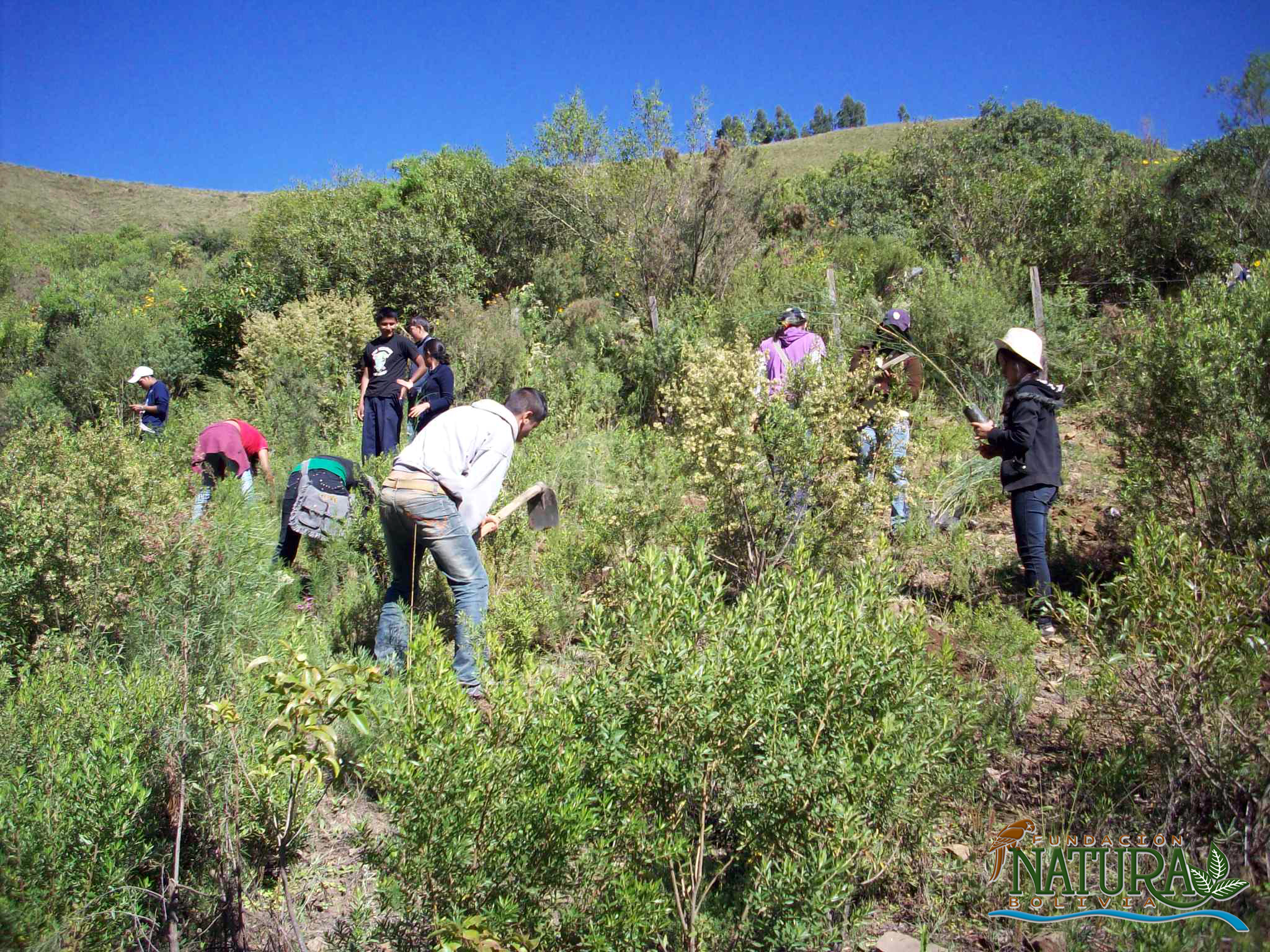
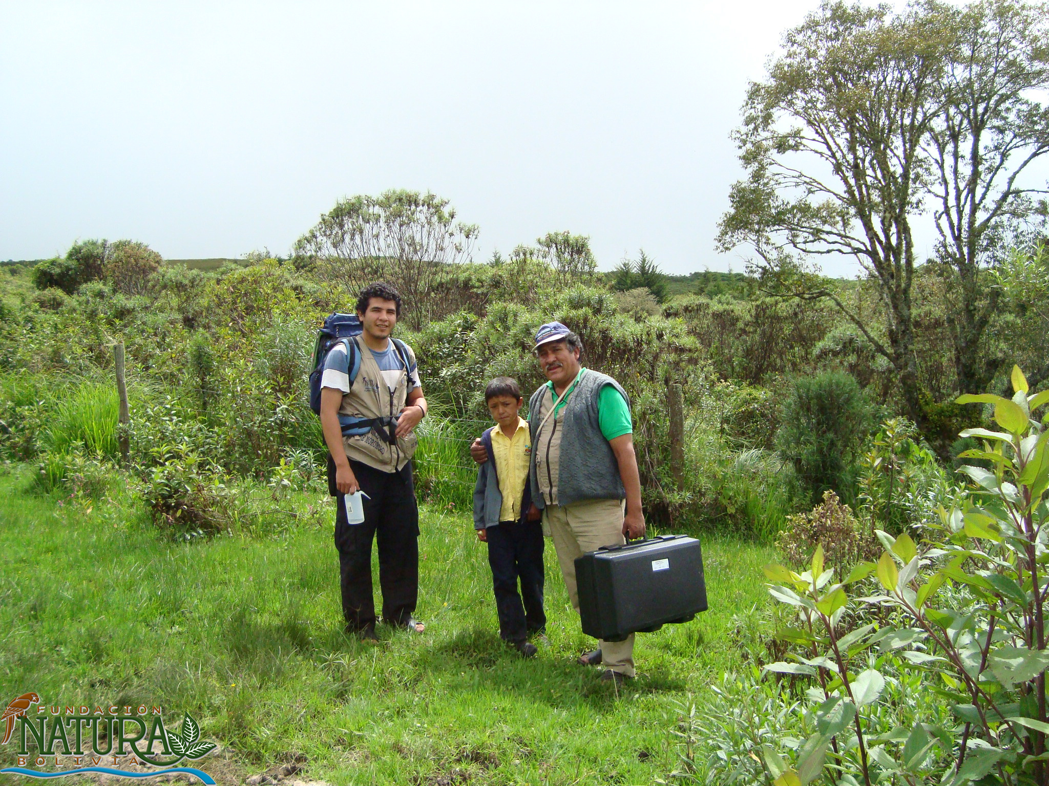
CBA Bolivia: Knowledge and Tools for Sustainable Management of Water and Soils in Moro Moro (Natura)
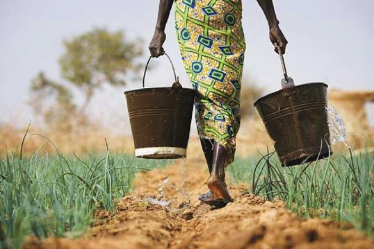
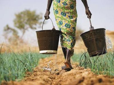
In the municipality of Moro Moro, Santa Cruz Department, Bolivia, climate change impacts are already becoming apparent. Livelihoods are primarily agricultural and pastoral, and baseline environmental challenges include serious deforestation and soil degradation on the steeply sloped pastures and farmlands. In addition to threatening agricultural productivity and farmer livelihoods, soil degradation and deforestation have serious implications for water quality and quantity for populations living downstream.
This Community-Based Adaptation project targets community awareness and adaptive capacity through an aggressive outreach and training component on sustainable forestry and resource management to protect native species, soils, and ecosystem services (flood, erosion, and landslide protection) from climate change risks. Lessons learned will be shared with neighboring municipalities.
* This project is part of Bolivia's Community-Based Adaptation portfolio. *

Project Brief / Fact Sheet
PIFs
Assessments and Background Documents
Bolivia Second National Communication, 2009 (English)
Bolivia Second National Communication, 2009 (Spanish)

This project will focus on the municipality of Moro Moro in Santa Cruz Department, Bolivia. Moro Moro is located in Bolivia’s “warm valleys” – an area of transition between the western high plains and the eastern lowlands. The area is somewhat dry, with an average precipitation between 600 and 700 mm/yr, and a distinct rainy and dry season. Temperature is largely determined by altitude. Livelihoods are primarily agricultural and pastoral, and baseline environmental challenges include serious deforestation and soil degradation on the steeply sloped pastures and farmlands. In addition to threatening agricultural productivity and farmer livelihoods, soil degradation and deforestation has serious implications for water quality and quantity for populations living downstream.
Climate change impacts are already becoming apparent in this part of Bolivia. Projected impacts include increasing temperatures, increasingly intense yet erratic rainfall, and more marked seasonality – in turn increasing risks of both floods and droughts. These pressures will worsen baseline land degradation pressures, and threaten to undermine other work on water and soil management being done in the region by the proponent and by its partners in IUCN and UNDP-Bolivia, which focus on integrated water resource management through an environmental services payment scheme. Absent adaptation components, these measures will not be sustainable.
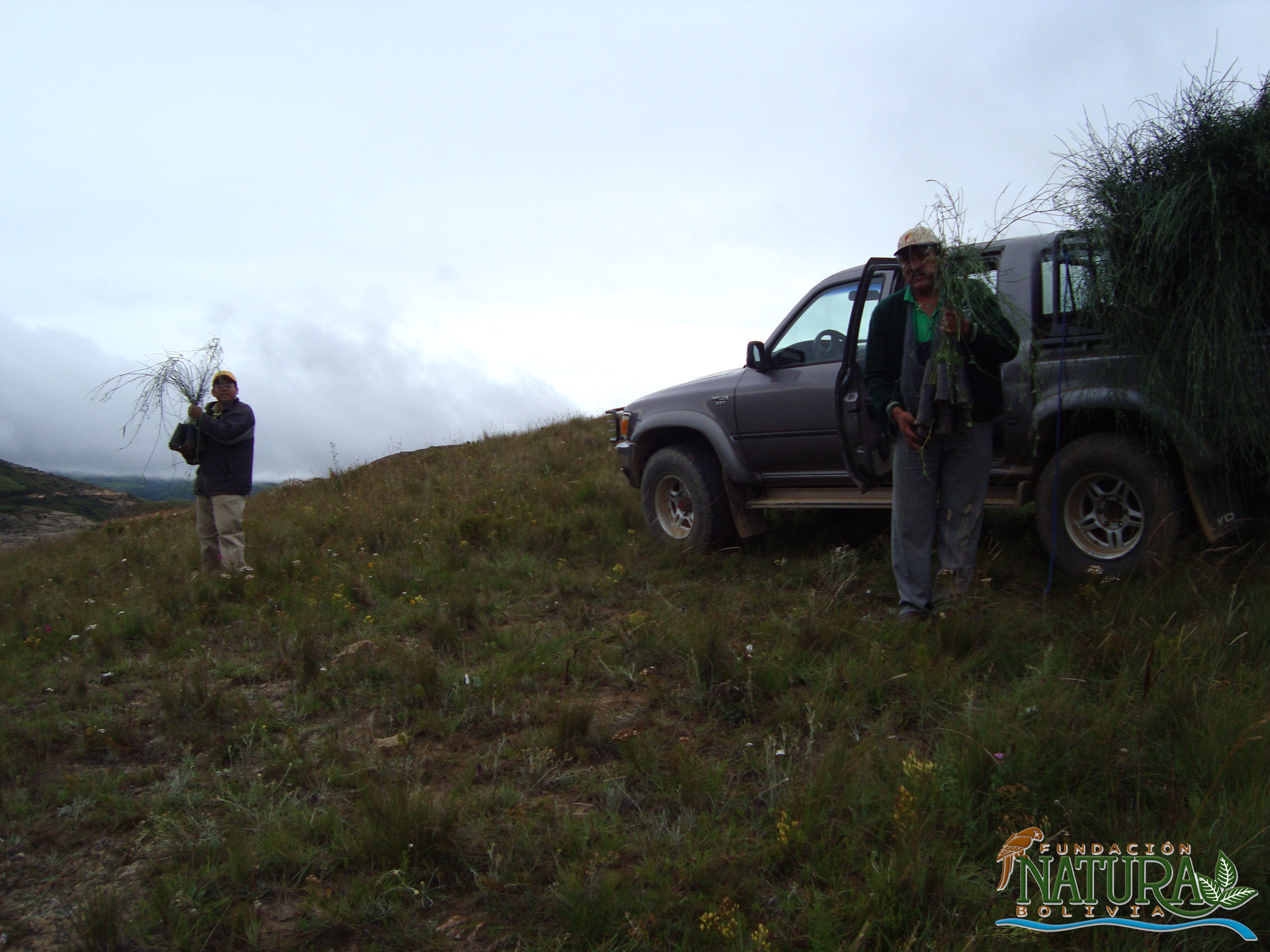
This Community-Based Adaptation (CBA) project will compliment baseline activities by reforesting key hydrological capture zones and areas at risk from increasing erosion pressures. The project will also directly target community awareness and adaptive capacity through an aggressive outreach and training component, while sharing lessons with neighboring municipalities.
Outcome 1: Local knowledge regarding natural resources and changing climate used to inform municipal planning
Through use of participatory processes, develop a community- and science-informed plan for local-level adaptation (Output 1.1), including the compilation of information on community perceptions of climate change (Output 1.2).
Outcome 2: Establish local monitoring system for principal water sources
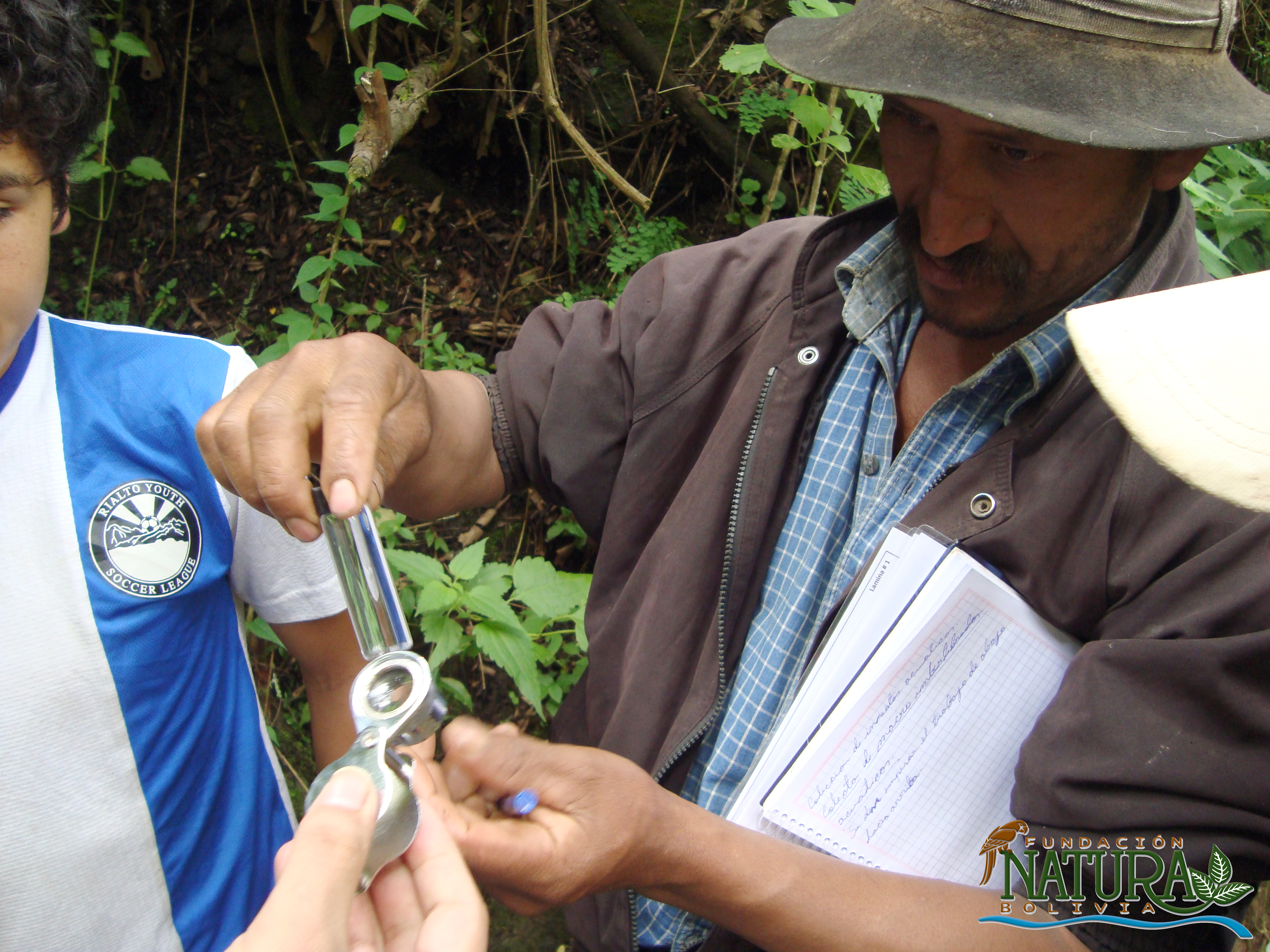
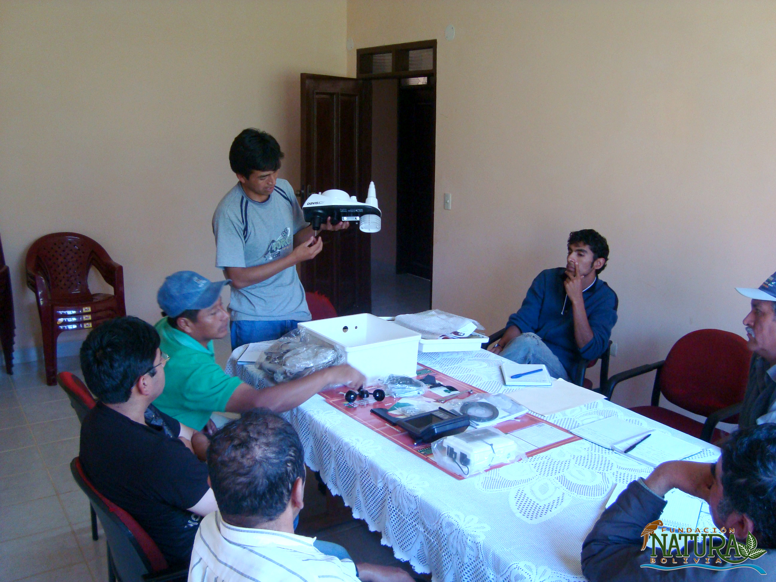
Execute physical and chemical analysis of local water flow parameters on the Moro Moro river (Output 2.1), as well as the installation of an automated climate measurement station (Output 2.2). Train community members in monitoring and analysis technologies (Output 2.3) in order to produce systematized information on community-based climate measurements (Output 2.4).
Outcome 3: Climate change adaptation practices developed
Afforest/reforest riparian fringes and non-vegetated land to minimize contamination, sedimentation and flood erosion risks (Output 3.1), while also protecting areas of sediment production (Output 3.2). Develop a plan to include private lands within adaptation frameworks through an environmental services payment scheme (Output 3.3).
Outcome 4: Climate change risk management integrated into municipal policy
Bring awareness of climate change risks to local government stakeholders (Output 4.1) and municipal residents (including children and youth) through workshops, short courses, and a student competition (Output 4.2). Bring consideration of climate change risks and adaptation to local and regional policies through a regional workshop on lessons learned from the Moro Moro project (Output 4.3).
Monitoring and evaluation for community-based adaptation is a new field, and the CBA project is piloting innovative approaches to evaluating the success of locally-driven adaptation projects, and generating lessons to inform ongoing practice.
Key considerations in M&E for CBA include:
- Grounding M&E in the local context: M&E for CBA should avoid overly rigid frameworks, recognizing community heterogeneity and maintaining local relevance
- Capturing global lessons from local projects: CBA projects are highly contextualized, but lessons generated should be relevant to stakeholders globally
- Incorporation of both quantitative and qualitative indicators: to ground projects in tangible changes that can be objectively evaluated, and to capture lessons and case studies for global dissemination
To these ends, the CBA project uses three indicator systems: the Vulnerability Reduction Assessment, the Small Grants Programme Impact Assessment System, and the UNDP Climate Change Adaptation Indicator Framework.
The Vulnerability Reduction Assessment (VRA)
The VRA is a question-based approach with the following aims:
- To make M&E responsive to community priorities
- To use M&E to make projects more accountable to local priorities
- To make M&E capture community ideas and local knowledge
- To gather community-level feedback to guide ongoing project management
- To generate qualitative information
- To capture lessons on specific issues within community-based adaptation
- To generate case studies highlighting adaptation projects
The VRA follows UNDP's Adaptation Policy Framework, and is measured in a series of meetings with local community stakeholders. In these meetings, locally-tailored questions based on standard VRA questions/indicators are posed, and the community assigns a numerical score on a 1-10 scale for each question. Progress is evaluated through changes in scores over the course of implementation, as well as through qualitative data collected in community discussions surrounding the exercise.
UNDP has developed a Users Guide to the VRA (Espanol) (Francais) as a tool to assist practitioners to conceptualize and execute VRA measurements in the context of CBA projects.
The SGP Impact Assessment System (IAS)
The CBA, being a project of the GEF Strategic Priority on Adaptation, aims to increase the resilience of ecosystems and communities to the impacts of climate change, generating global environmental benefits, and increasing their resilience in the face of climate change impacts. To this end, the CBA projects use the SGP's impact assessment system for monitoring achievements in GEF focal areas (focusing primarily on biodiversity and sustainable land management).
The IAS is composed of a number of quantitative indicators which track biophysical ecosystem indicators, as well as policy impact, capacity development and awareness-building.
UNDP Climate Change Adaptation Indicator Framework
CBA projects also track quantitative indicators from UNDP's adaptation indicator framework, corresponding to the thematic area on natural resources management. More information on UNDP's indicator framework can be found on the UNDP climate change adaptation monitoring and evaluation website.
* This description applies to all projects implemented through UNDP's Community-Based Adaptation programme. Specific details on this project's M&E will be included here as they become available. *
Identification and Implementation of Adaptation Response Measures in the Drini-Mati River Deltas
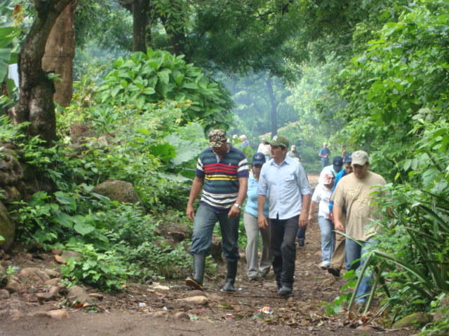
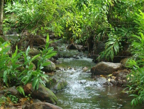
The Drini and Mati River Deltas in Albania are experiencing stressful impacts on biodiversity and ecosystems as a result of climate change. There is currently a lack of institutional and individual capacities to undertake a rigorous assessment or to address the potential climate change impacts on biodiversity.
The aim of this project was to address key risks and vulnerabilities in the coastal areas of Drini Mati River Deltas of the Northern Adriatic by developing the capacity to adapt to climate change.
For updates on UNDP Early Warning Systems and Climate Resilient Development projects, click here.
Assessments and Background Documents
ProDocs
Case Study
Brochures, Posters, Communications Products

The Drini and Mati River Deltas (DMRD) are two of the three deltas on the northern Adriatic coast of Albania. DRMD represents a
complex and compound system of sandy belts, capes, bays, lagoons and island areas. They also harbour significant biodiversity
values in three types of habitats: marine, wetlands and non‐wetland habitats, including forests, shrubs, and open fields where
traditional agriculture is practiced. Biodiversity is one of the most important assets of Lezha region, in which DMRD lies. The Drini
Delta is an internationally recognized Important Bird Area, providing wintering grounds for the endangered pygmy cormorant and
over 70 other species of waterfowl and water birds. The Patok lagoon, within the Mati Delta, serves as an important feeding area for
globally endangered loggerhead turtles.
Climate change has the potential to undermine biodiversity conservation efforts in the DRMD’s protected areas, unless the system
accommodates uncertainty and management strategies are put in place to respond to climate‐related stress. According to Albania’s
first comprehensive vulnerability and adaptation assessment, conducted as part of the preparation of the First National
Communication (FNC), the DMRD is critically vulnerable to climate change and requires adaptation measures to be put in place.
Scenarios for Albania predict an annual increase in temperature of up to 3.6ºC, a decrease in precipitation of 12.5%, and
consequent reductions of water resources and arable land (due to soil erosion and alteration) by the year 2100. In the coastal
zones, an increase in sea surface temperature as well as sea level rise (SLR) of up to 61 centimetres is expected to place additional
stress on marine and littoral biodiversity as well as livelihoods of local communities. SLR, more frequent and intense floods,
frequent inundation, and submersion of low lying coastal areas could affect life cycles of various species and result in habitat loss
and fragmentation. Rising temperatures will also affect the composition and distribution of DRMD’s marine and terrestrial species.
The overall development goal of this medium size project is to assist Albania in establishing a mechanism by which strategies to moderate, cope with, and take advantage of the consequences of climate change are enhanced, developed, and implemented. The specific objective of the project is to build adaptive capacities in the DMRD to ensure resilience of the key ecosystems and local livelihoods to climate change. This will be done by first identifying, and then integrating climate change response measures into development programming in the DMRD.
This objective will be achieved through the following outcomes:
Outcome 1: Capacities to monitor and respond to anticipated climate change impacts in the DMRD at the institutional and community levels developed
- Output 1.1: A system for monitoring climate change and its impacts on the DMRD ecosystem is in place
- Output 1.2: Local government institutions have the capacity to analyze data on climate variability and associated ecological impacts and integrate this into decision making
- Output 1.3: Community capacities to understand the impacts of climate fluctuations and expected changes on natural ecosystems and local livelihoods are developed
Outcome 2: DMRD region’s conservation and development programmes, plans and policies integrate climate change risks and take local pilot actions for coastal adaptation
- Output 2.1 A package of amendments to biodiversity conservation activities within protected areas of the DMRD aimed at integrating adaptation measures is prepared and implementation is initiated
- Output 2.2 A package of amendments to sustainable development activities in the wider landscape surrounding protected areas in the DMRD aimed at integrating adaptation measures is prepared and implementation is initiated
Outcome 3: Capacity for adaptive management, monitoring and evaluation, learning, and replication of project lessons developed.
- Output 3.1: System for monitoring and evaluation of project impacts established
Down to Earth: Territorial Approach to Climate Change (TACC)
The Down to Earth: Territorial Approach to Climate Change (TACC) was part of a partnership between the United Nations and sub-national governments for fostering climate friendly development at the sub-national level. This partnership was a collaborative effort involving UNDP, UNEP and eight associations of regions.
The TACC project supported the integration of climate change adaptation and mitigation measures into sustainable development planning and programming in developing countries by:
- Developing partnerships with UN and specialised agencies, national and sub-national governments, centres of excellence and regional technical institutions, and the private sector;
- Making available methodologies and tools for long-term climate change participatory planning to regions and cities and sharing best practices;
- Providing regions with information about climate change challenges and opportunities and technical and financial solutions;
- Providing technical support to up to 20 regions for the preparation of regional climate change plans, including identification of priority mitigation and adaptation measures; and
- Providing technical support to up to 20 regions to identify policy and financing instruments to implement priority climate change measures.
For more information on project activities read the TACC - 2011 Update or the TACC - 2012 Update.
ProDocs
Project Document: Down to Earth: Territorial Approach to Climate Change
Document
Territorial Approach to Climate Change (TACC) 2012 Update
Quarterly Updates
The Down to Earth: Territorial Approach to Climate Change (TACC) project aims to assist regional and local governments in developing countries in:
- Developing integrated climate change strategies and action plans to assess development options that are robust enough to withstand different future climatic conditions.
- Strengthening capacity of sub‐national authorities to integrate climate change into sustainable development planning and programming.
- Identifying no regrets/negative costs/low‐cost adaptation and mitigation measures that promote long‐ term sustainability and poverty reduction.
- Enhancing the capacity of regional and local government to enact regulatory measures, as well as to take advantage of new sources of environmental finance, to implement these no regrets/negative cost/low‐cost options.
Sub-national authorities to have identified risks and opportunities related to climate change at the territorial level and integrated priority mitigation and adaptation measures into sustainable development planning and programming, taking into consideration gender aspects and aligned and coordinated with existing climate change projects in the region.
- Outcome 1: Partnerships established and operational with UN and specialised agencies, national and sub‐national governments, centres of excellence and regional technical institutions, and/or the private sector.
- Outcome 2: Methodologies and tools for long‐term climate change participatory planning are developed and made available, and best practices shared with regions and cities.
- Outcome 3: Regions are aware of climate change challenges and opportunities and of available technical and financial solutions.
- Outcome 4: Technical support is provided to 20 regions in developing countries for the preparation of their regional climate change plans, including identification of priority mitigation and adaptation measures.
- Outcome 5: Technical support is provided to 20 regions to identify possible policy and financing instruments to implement priority climate change measures.
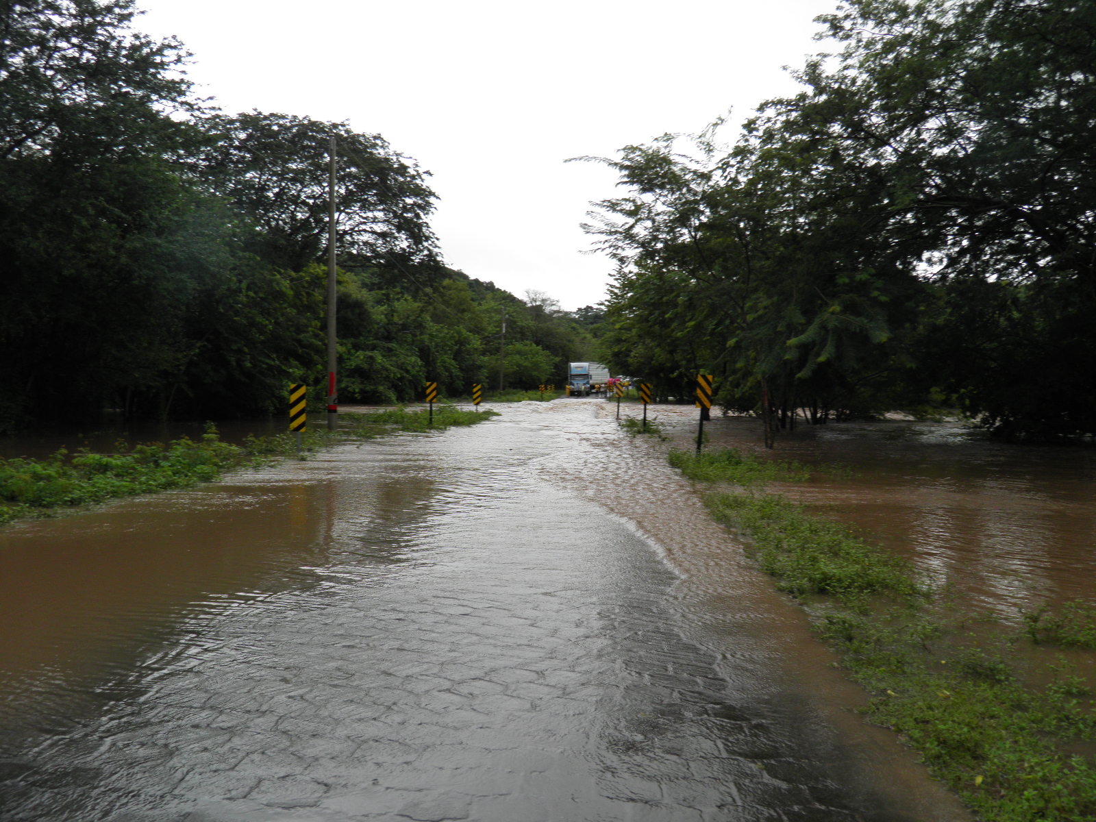
Reducing Risks and Vulnerability to Flooding and Drought in Nicaragua
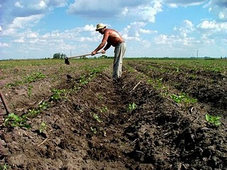
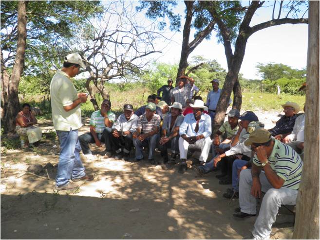
Climate variability, especially during El Niño-Southern Oscillation (ENSO) episodes, results in droughts that cause significant losses, particularly affecting the agricultural sector on which Nicaraguans' food security depends. This project is designed to reduce drought and flooding risks generated by climate change and variability in the Estero Real River watershed. To reach this objective, this project relies upon a coordinated set of interventions designed to implement new public policies for addressing climate change by introducing agro-ecological practices and participatory watershed management in highly vulnerable rural communities. Through targeted investments in water retention, long-term farm planning, and institutional capacity building in local communities, municipalities and government agencies, the project will validate an adaptation scheme as a vehicle for implementation of the national climate change strategy.
Document
PIFs
Nicaragua is extremely susceptible to natural hazards, including hurricanes, destructive earthquakes, volcanic eruptions, and landslides. Moreover, flooding and droughts present some of the most challenging natural phenomena to contend with. The areas that will be most affected by climate change are those currently classified as dry zones, such as the northern region and the municipalities in the departments of Chinandega and León, where the current project will be located.
In these areas, higher temperatures and increasing rainfall variability combined with more intense events will aggravate current conditions of water scarcity and extreme poverty. Under changed climate conditions, it is estimated that these areas will receive an average annual rainfall of 500mm, which will have significant repercussions for agricultural and livestock activities, and will also affect both water quantity and quality.
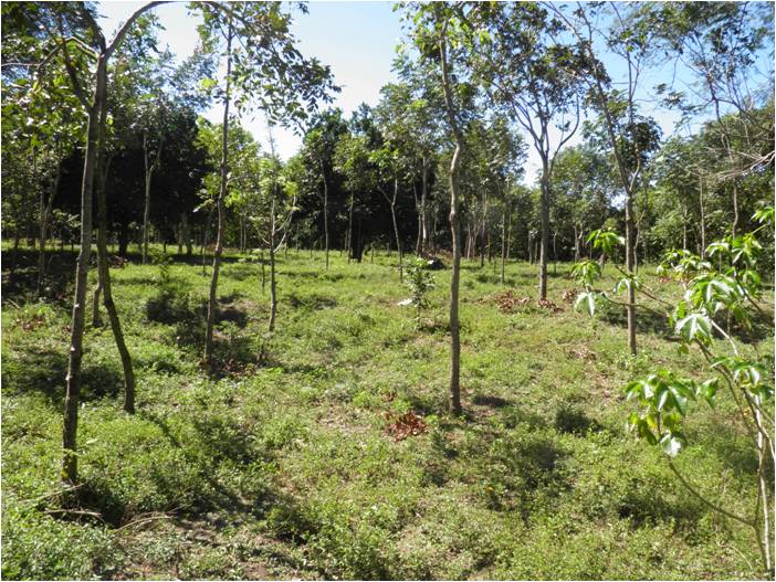
This project seeks to reduce climate change-related risks from droughts and flooding Estero Real River watershed. This will be achieved through investments in water storage infrastructure and climate resilient agro-ecological practice pilots for family farms in the designated project areas.
Component 1: Investments in infrastructure for storing and using rain and surface water in eight micro-watersheds in the upper watershed of the Estero Real River.
Create two communal irrigation systems in two micro-watershed (Output 1.1) and at least 880 rainwater collection and storage facilities in eight micro-watersheds (Output 1.2) to supply family farms. Train and organize at least 100 farm families in management, efficient use and maintenance of their communal and individual irrigation systems and water storage facilities (Output 1.3).
Component 2: Introduction of climate resilient agro-ecological practices to make effective use of available water.
Prepare agro-ecological farm transformation plans with at least 1000 farm families to use their own resources and available credit for implementation (Output 2.1). In each micro-watershed, convert at least 140 hectares to water-conscious and climate resilient agro-ecological production (Output 2.2) and at least 50 hectares in water system recharge areas and riparian zones (Output 2.3).
Component 3: Institutional development and capacity building in micro-watersheds, municipalities, and participating national institutions.
Work with local organizations in eight micro-watersheds to prepare and implement climate-resilient management plans (Output 3.1) and establish inter-institutional coordinating bodies in El Sauce, Achuapa, and Villanueva to arrange governmental and NGO work plans (Output 3.2). Design proposals for instruments to build resilience and for operation of a Villanueva River sub-watershed committee (Output 3.3), and facilitate the adoption of climate adaptation measures in nine municipalities’ plans and policies (Output 3.4).
Component 4: Ongoing monitoring and analysis of climatic conditions and changes in land use, water flows and soil quality.
Identify hydraulic works needed to reduce flooding in lower Villanueva River basin (Output 4.1). Establish ongoing participation monitoring of water flows and quality, soil conditions, and land use changes (Output 4.2), along with electronic information posts, monitoring data dissemination, and preparation of maps for farmers, organizations, and users of the National Environmental Information System (SINIA) (Output 4.3).
Programme monitoring and evaluation will be carried out by the Programme Team and the UNDP-Country Office in accordance with established UNDP procedures.